The baseball started up again a few days ago and so on Wednesday night I got myself along to Jamsil for my first game of the season. Or rather, my first Korean baseball game of the season.
I’ve been out of the country for the past couple of weeks, although this time it was for a holiday to America rather than the usual business trip to Oman. As you might have expected Jen and I went to a few sporting events including baseball games at LSU and New Orleans Zephyrs plus an NBA basketball game at New Orleans Hornets. We even managed a trip to the races.
As well as watching stuff we also had a couple of days hiking around the Grand Canyon and another at Red Rocks. We called into Las Vegas too where we got married at a drive-thru chapel. We didn’t even have to get out of the car, just wind the window down, exchange vows and then drive off. Whilst it’s probably not everyone’s dream to be married in a Toyota Corolla hire car, it suited us fine.
So, since it’s my blog I’ll do the now familiar ‘What I did on my holidays’ digression from the subject of the post and then eventually get back to the Bears v Wyverns. I’ll start with the hiking first, partly because it was so good, but mainly because it’s what we did first.
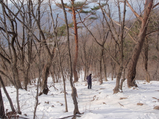
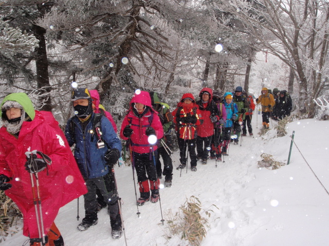
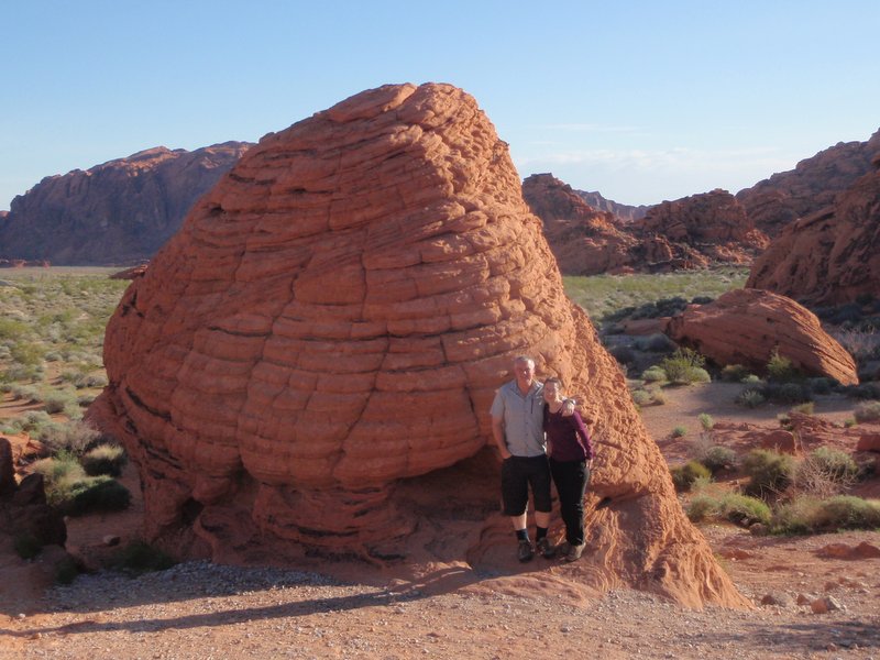
It’s not far from Vegas to Red Rocks and so we spent half a day just wandering around inside whatever National Park it is. The place was virtually empty and we were able to just saunter around, clambering on rocks that I felt guilty about standing on and then follow a trail through areas where I couldn’t stop grinning at the beauty of it all.
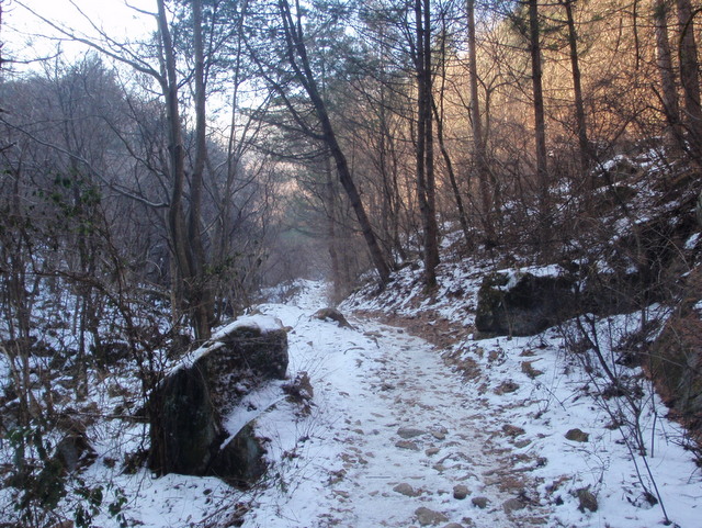
Not sure what it is, probably a big wasp’s nest or something.
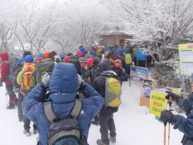
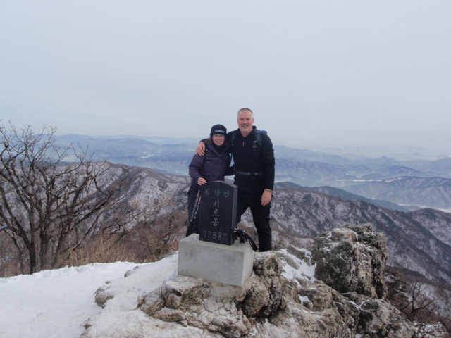
Good as Red Rocks was though, it wasn’t a match for the Grand Canyon. We got there late in the evening and walked eastwards along the South Rim for an hour or so, before getting up before dawn the next day to see the sunrise and then hike ten miles in the other direction.
Upon arriving at a suitable vantage point for the sunrise we found we’d been beaten to it by a busload of Korean tourists. There’s a surprise. It was quiet enough fifty yards further along though. We didn’t manage to hike down into the canyon but it’s on the list and we’ll be back.

It’s just as well that my Mam doesn’t read this blog.
It was no surprise that the NBA fixture between New Orleans Hornets and Memphis Grizzlies was a step up in quality from the games I’ve been watching at Jamsil. The home side fell behind early on but rallied in the second quarter to take a lead which they managed to hang on to until the end.
We had VIP seats courtesy of Jen’s brother Jeff who is a bigwig with the New Orleans baseball team and we had a very good time with him and his missus. The evening was rounded off by free peanut butter sandwiches, a nightly tradition at the hotel we were staying at. As ever, I’ve made a mental note for the day when I end up as a tramp.
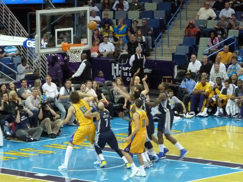
Hornets v Grizzlies.
The horse racing at the New Orleans Fairgrounds track was good fun too. With a mixture of dirt and turf races we just about broke even due to Jen picking a few winners. I’d been to Santa Anita in Los Angeles a few years ago but this was a much smaller set up. The crowd was pretty small too despite it being free admission. Perhaps most people were waiting until the Louisiana Derby the following weekend.
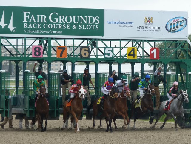
And they’re off!!
So, the baseball. We saw two games, the first a University game between LSU and Auburn at the Alex Box Stadium, Baton Rouge. I couldn’t get over how popular college sport is in America, with most people supporting a University team rather than one in the professional ranks.
LSU are having an excellent season and they extended their winning run with an 8-2 victory in sunny but windy conditions.

Bloody students.
The second baseball game was back in New Orleans where the Triple –A Zephyrs were taking on Miami Marlins of the Major League. This was the event of the season for Jen’s brother Jeff and he was pleased to be able to report a sell-out.
We had tickets for behind the plate but soon moved close to first base to avoid having to look through a net. The protective nets are much smaller than the ones at the Korean baseball stadiums which tend to stretch the full length of the field. A lot of fans in Korea tend not to follow the game too closely, preferring to focus on the eating and drinking with their friends. I can empathise with that. However, the number of people getting sparked out cold whilst pouring soju must have been sufficient to make the full netting a must.
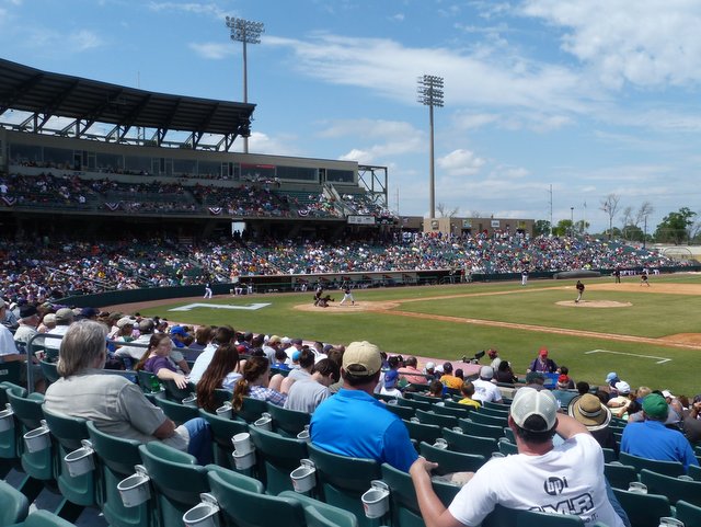
Zephyrs v Marlins.
The Zephyrs didn’t do particularly well against their MLB opponents and the Marlins soon built up a big lead. It looked as if the visitors weren’t keen on hanging around either as they rattled through their innings in quick time. One of the pleasures of a day at the baseball is drinking in the sunshine and so I rattled through a few pints in just as quick a time. It was fortunate that I did really, as in a little under two hours it was all over. I can’t remember the final score but it wasn’t close.
We joined Jeff afterwards at a bar across the road from the stadium to drink daiquiris, another first for me. I’m not sure what was in them but they went down every bit as well as the beer had.
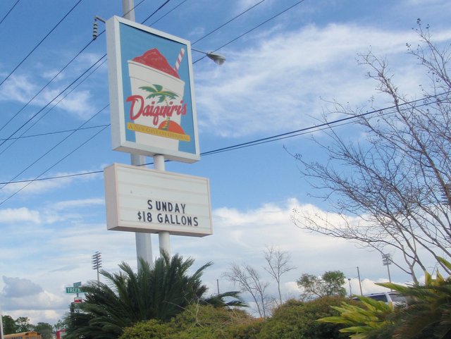
I think their gallons are slightly smaller than ours.
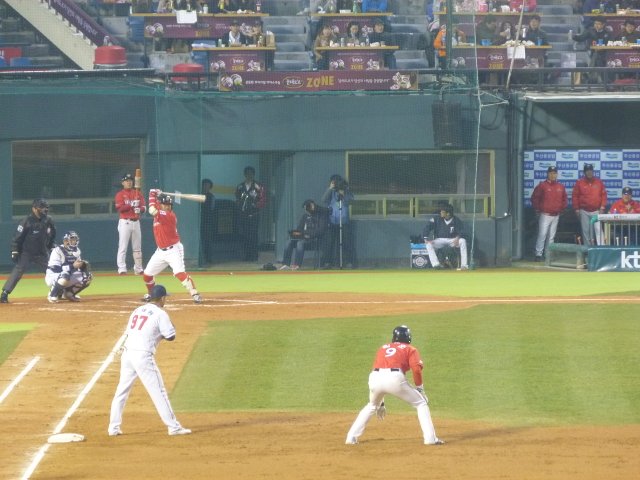
That’s it for the American sporting stuff, back to the Korean baseball. Doosan Bears against SK Wyverns. The Wyverns are usually there or thereabouts at the end of the season and in the three years that I’ve been watching baseball they’ve won the Korean Series once and finished runners-up on the other two occasions. Doosan aren’t anything like as good and if they can make the four-team play-off at the end of the season then they will have done well.
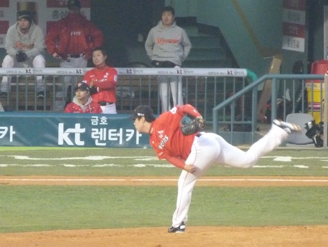
SK starting pitcher Yeo Gun Wook
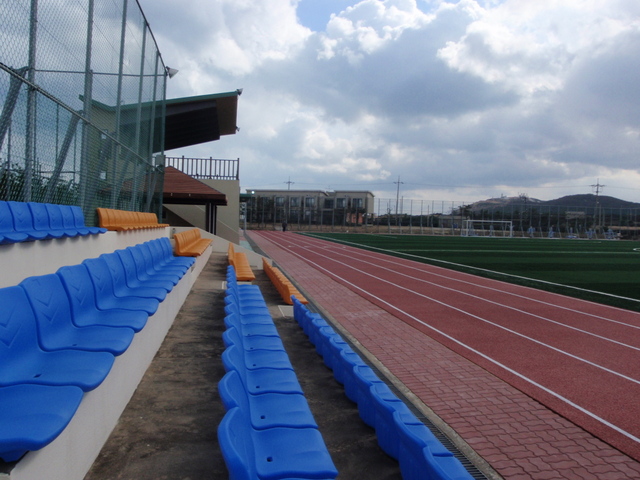
The early table didn’t reflect the historical success of each team though with Doosan at the top with three wins from three games and SK at the bottom having lost every time they’d played. I was hoping for a decent crowd in response to Doosan’s good start but it didn’t work out that way. The outfield was virtually empty and the Wyverns fans, perhaps less than impressed by their team’s early showing, hadn’t really bothered turning up either.

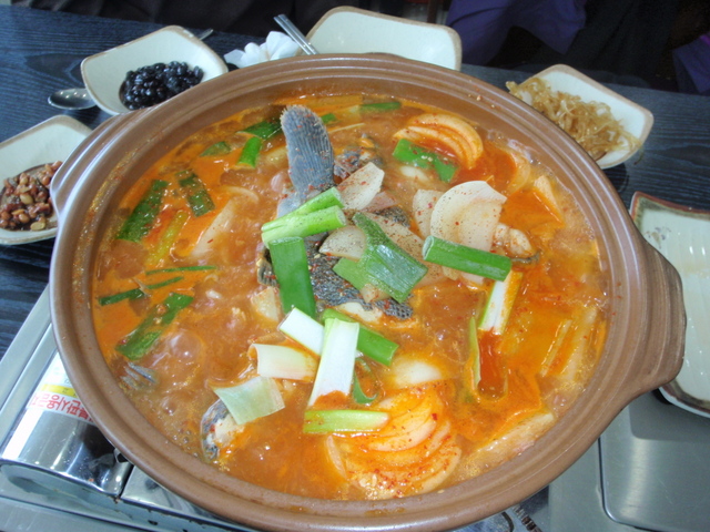
Oddly, you don’t get these at American baseball.
It was nil-nil when I arrived early in the first and still that way an hour later in the fourth when I called it a day. The combination of cold weather and jet-lag made me decide that I needed to be in bed despite it only being eight in the evening.
I had a look at the results the next day and SK had won to kick-start their season. I’ll be back at Jamsil once I’m capable of staying up later than a six year old.